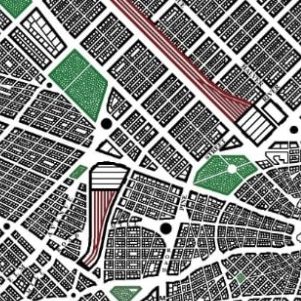
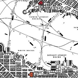
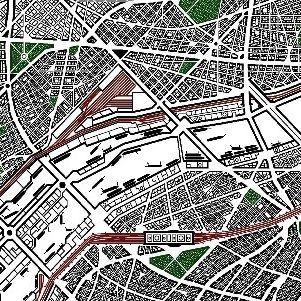
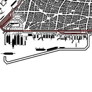
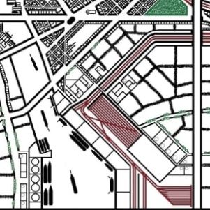
From Roman to Modern - Contemporary
I have created a diverse range of urban cartographic maps, encompassing various sizes, styles, and historical periods, from ancient Roman and Greek influences to those reflecting the Industrial Revolution. Additionally, I have produced contemporary city maps, dating from the 1930s to present day.


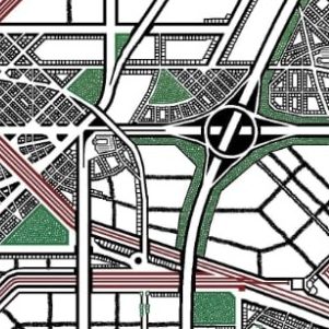
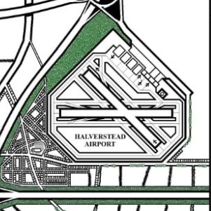
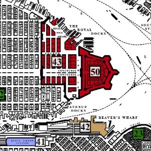
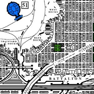
Train tracks, Motorways, Airports and Ports
My contemporary city maps feature a detailed representation of railway tracks, sidings, and stations, all rendered in red. Additionally, I illustrate motorways and complex junctions. Furthermore, my maps include airports and Ports, bustling with ships and boats.